

The Pre Mortem Protocol: Before Any Hiking App Opens

Failure Points Before The Map
You want the app to tell you the trip will work out. That’s the real draw. But apps are filters, not crystal balls, and they hide what kills trips: logistics gaps that no algorithm catches. The military borrowed pre mortem thinking from medicine—you imagine the outcome failed, then work backward to identify what broke. Apply this to trip planning: assume the hike fails before opening any app, then list what actually caused it.
Most hikers skip this step. They load the route into AllTrails or Gaia GPS and treat the app’s difficulty rating like gospel. Wrong move. The app shows the terrain, not the human variables that derail trips: transportation logistics, weather windows, group coordination failures, or timing mismatches between when you can actually go and when the route is passable. You need a written list of potential failure points specific to your trip before any app data becomes relevant.
Actual Skill Versus The Aspirational Self

You’re not climbing Denali next month. You’re probably not ready for what you tell yourself you’re ready for. This gap between aspiration and current ability is where most trip planning apps deliver false confidence. The ratings inside apps use aggregate data from thousands of users with wildly different baselines. Someone’s “moderate” is another person’s “advanced.” You need an honest skill inventory before the app’s difficulty slider means anything.
Document what you’ve actually completed in the past year, not what sounds impressive or what you think you should be capable of. List elevation gain, distance, terrain type, altitude exposure, and your actual finish time versus estimated time. Compare that against the trip you’re planning. Apps won’t do this comparison for you. You have to hold up your real performance data against the proposed route and make a hard call. If the gap exists, that’s not a future goal. That’s a different trip for a different day.

The Data Driven Dispatch: Beyond Hiking App Marketing

One App Means One Bias
You trust one app because it feels authoritative, but what you’re really doing is outsourcing your risk assessment to whoever coded it. The mechanism is simple: every app’s algorithm surfaces data it prioritizes, which means it hides or deprioritizes data it doesn’t. A trail app might weight recent user reviews over official park service updates. Another might show elevation gain but bury water source reliability. No single source captures the full picture. Cross-reference AllTrails with official USGS topographic maps, park service websites, and regional hiking forums. Compare trailhead coordinates across sources. If they differ by more than fifty meters, trust the park service. This isn’t paranoia. It’s the difference between catching a data error before you’re five miles in and discovering it when your water plan collapses.
The protocol is non-negotiable: before committing to any route, validate every operational detail against at least two independent sources. Check elevation profiles across different platforms. Verify parking availability on the official park website, not the app’s cached guess. Look at permit requirements through the agency’s site directly. When your sources disagree, the discrepancy itself is the signal. It tells you the information is either outdated across the board or contested by local conditions. Either way, you need to know that before you pack.
User Reviews Against Ground Truth
Common advice treats user-generated content as data. It isn’t. It’s opinion shaped by weather, fitness level, expectations, and whether someone had a bad lunch. A five-star review from someone who did the hike in perfect conditions tells you nothing about what happens when it rains. A one-star review from someone attempting a trail beyond their fitness level contaminates the average. The real utility of user reviews is narrow: they flag recent changes. Did someone report the trailhead parking lot full at 9 AM last weekend? That’s actionable. Did they say the views were disappointing? That’s noise. Official records carry different weight. Park service maintenance logs show when trails actually closed for repair. Permit data shows real usage patterns. Weather station records at trailheads show actual conditions, not someone’s memory of conditions.
Build a verification hierarchy for each trip detail. If three separate user reviews mention a bridge washed out, cross-check the park service closure list before you go. If users rave about a viewpoint, verify the sightline hasn’t changed by checking recent satellite imagery or official park updates. The signal hidden in user reviews is specificity about recent events, not overall quality ratings. Extract operational facts only: closures, hazards, seasonal changes, permit surprises. Ignore the stars and the adjectives entirely.
The Minimalist Mapping Method For Trip Planning
Strip Layers Until Only Decisions Remain
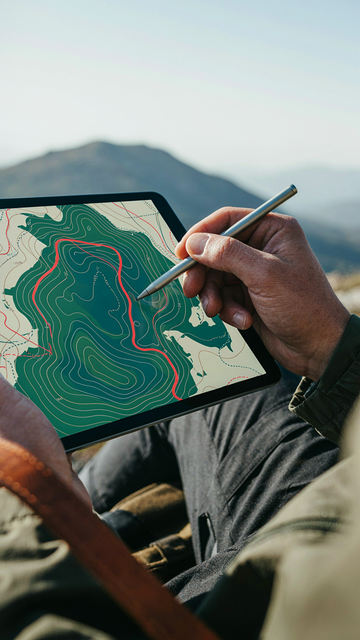
You want to feel prepared without drowning in data. Here’s the real mechanism: most trip planning apps treat the map like a filing cabinet when it should work like a decision tree. Borrowed from information architecture, signal-to-noise ratio determines whether your map guides you or paralyzes you. Every layer you add—weather overlays, trail difficulty ratings, POI clusters—competes for your attention and slows down the actual planning step.
Start by identifying what you need to decide. Route selection needs elevation and terrain. Water access needs source locations and distance. Everything else is decoration. Apps like AllTrails and Gaia GPS let you toggle layers on and off. Turn off the layers that don’t change your route choice. Your map should show only what forces a decision or prevents a mistake. This isn’t minimalism for aesthetics. It’s minimalism for speed.
Keep Redundant Offline Copies In Different Formats
Most people treat offline maps as a backup. Wrong. Borrowing from systems engineering, redundancy means multiple independent copies of the same data so failure in one system doesn’t collapse the whole operation. One corrupted map file or one app crash shouldn’t strand you on the trail. The real strategy is format diversity, not just file duplication.
Download your route in at least two formats across two different apps. Use Gaia GPS for one offline copy and AllTrails or Maps.me for another. Store a PDF screenshot of your route with waypoints marked on your phone’s native storage. If your phone dies and you’re using an old Garmin or paper map as backup, that screenshot transfers to any device. Before you leave cell service, verify every offline map loaded correctly by zooming to your key waypoints and checking that elevation data displays. One failed offline download discovered on a trailhead beats discovering it three miles in.
Leveraging Road Trip Planning App For Route Optimization
Traffic Patterns As Supply And Demand
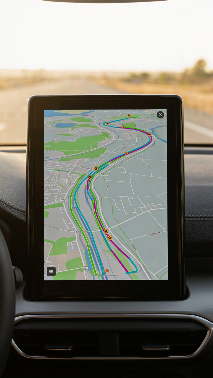
You want to shave hours off your drive and feel like you’ve outsmarted the system. Here’s what actually happens: traffic apps read congestion like an economist reads market prices. Economics calls it supply and demand. On your route, supply is road capacity. Demand is vehicles competing for it. Apps measure the friction between them in real time.
Most people treat traffic data as static. They check it once, see green, and assume it stays green. It doesn’t. Congestion clusters at specific hours because demand concentrates then. Morning rush creates a bottleneck. Lunch hour creates another. Evening exodus creates a third. Your app’s job is showing you when demand drops below capacity on your specific route segment, not just telling you traffic exists somewhere ahead.
Supplies Win Routes, Not Speed
Military logistics teaches a simple rule: control the supply line, you control the operation. On a road trip, your supply line includes gas stations, water, food, and rest stops. Most trip planners ignore this and optimize only for speed. That’s incomplete.
An app that shows gas station density, bathroom wait times, or food availability along your route solves a real problem the speed-obsessed miss. You can drive fast on an empty road but fail the mission if you’re stranded without fuel. Check your app’s ability to flag supply nodes, not just route options. Some apps let you add custom waypoints for resources you actually need. Use that feature to build redundancy into your route before you leave.
The Best Road Trip Apps: Context Over Features
Match The App To Your Trip, Not The Rankings
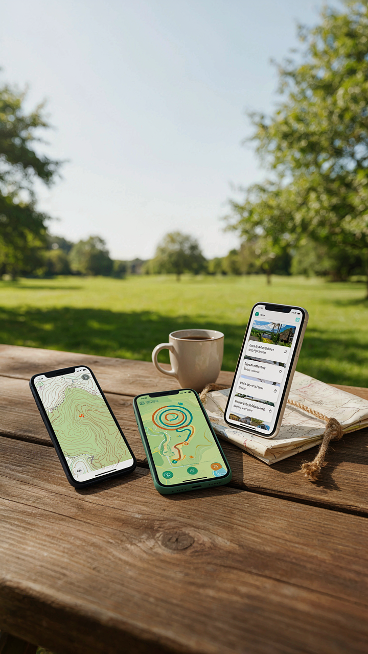
You want the app everyone recommends because you’re afraid of making a wrong call and wasting time on the road. The mechanism is simple: app utility operates like economic supply and demand. Your specific trip has specific constraints—distance, terrain, group size, connectivity—and no single app serves all of them equally. A route planner built for highway navigation adds friction to backcountry trips. A social hiking app wastes tokens on features irrelevant to solo desert driving. Pick the app that solves your actual problem, not the problem the app company markets best.
Your trip objective determines which features matter. A cross-country highway trip needs turn-by-turn routing and gas station mapping. A weekend backpacking loop needs offline maps and elevation profiles. A group camping coordination needs real-time location sharing and offline messaging. Most people download five apps, use two features from each, and blame the tools instead of asking what they actually need to accomplish. Start by naming your trip type—then search for apps built specifically for that context, not apps that claim to handle everything.
Single Purpose Beats Swiss Army Knife
Common advice says grab an all-in-one app to reduce clutter and keep everything synced in one place. That’s incomplete. A single app trying to do navigation, offline maps, waypoint storage, weather, emergency alerts, and social features does each one at 70 percent effectiveness. Specialized apps own their function because they don’t compromise on that specific problem. AllTrails excels at trail discovery because that’s its only job. Gaia GPS dominates offline mapping because it doesn’t waste code on restaurant reviews. Maps.me handles offline navigation without the bloat of integration layers.
The friction comes when you combine two single-purpose tools versus forcing one bloated app to handle both. A dedicated offline map app plus a dedicated route planner app takes two taps to switch between them. The all-in-one app takes one tap but loads slower and crashes on edge cases. Build your trip stack by function: one app for route planning, one for offline maps, one for real-time weather. Each tool stays sharp at what it does. Before departure, test the handoff between apps so you know the exact workflow when you’re ten miles from service.
Hiking App Design: Why Simplicity Wins Over Bloat

Navigation Without The Noise
You want the app that makes you look smart to other hikers. That’s the real pull. But the mechanism is brutal: every feature you don’t use becomes friction when you actually need the map. Most hiking apps pack social feeds, achievement badges, and community forums into the interface. Strip those out. The core tools are offline maps, GPS tracking, waypoint marking, and elevation profiles. Apps like Gaia GPS and AllTrails succeed because they front these four elements and bury everything else. Your map should load in under two seconds on a weak signal. Social features can’t do that.
The fatal error is confusing app complexity with app capability. A feature-rich app isn’t a capable app if you can’t access the critical function in thirty seconds while standing on a ridge in bad weather. Test any app you’re considering by finding the offline map download, enabling GPS, and marking a waypoint without looking at the tutorial. If you stumble, the app failed its only job. Simplicity here isn’t minimalism for aesthetics. It’s ruthless prioritization of what keeps you from getting lost.
Design For The Moment That Matters
Human factors engineering teaches us that interface design must optimize for peak cognitive load, not average browsing. When you’re hiking, your attention splits between terrain, weather, and navigation. Your mental bandwidth shrinks. An app designed for calm office use will fail you on the trail. The best hiking apps remove visual clutter and use high-contrast buttons, large fonts, and one-tap access to core functions. Compare this to social media apps, which exploit low cognitive load with nested menus and infinite scroll. Hiking apps must do the opposite.
Evaluate any app by simulating stress conditions. Open the map while moving, with one hand free, in bright sunlight on your phone screen. Can you read the trail markers? Can you hit the waypoint button without zooming accidentally? Does the elevation profile load fast enough to inform a route decision? The app that wins isn’t the prettiest. It’s the one that forces you to think less when thinking clearly matters most. Before downloading anything, check user reviews specifically for failure points during actual navigation, not complaint threads about missing social features.
Free Road Trip Apps: The Cost Of Convenience
Who Actually Owns Your Trail Data
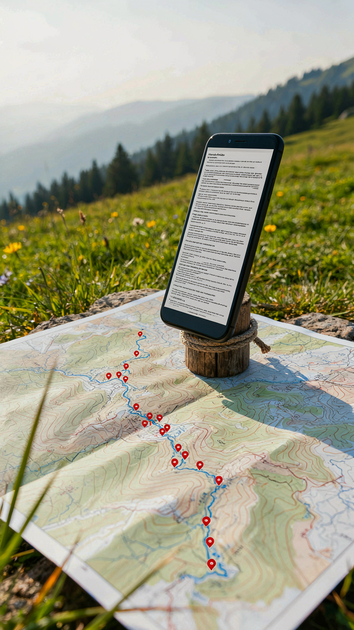
You want free because you want to believe convenience has no price. Here’s the mechanism: free apps monetize user behavior data. They track your routes, stops, timing patterns, and location history. This data becomes a product sold to advertisers, location analytics firms, and sometimes data brokers. You’re not the customer. Your movement patterns are.
Most free trip planning apps collect geolocation data continuously, not just when you actively use them. They log waypoints, search queries, and even the routes you abandon. This builds a behavioral profile worth real money to companies targeting outdoor enthusiasts for gear sales, camping resort bookings, or travel insurance. Read the privacy policy before installing. Most people don’t.
The Feature Wall That Actually Matters
Everyone says paid apps just add cosmetic features. That’s incomplete reasoning and it costs you time in the field. Economics teaches us about information asymmetry, and trip planning apps weaponize it. The paid tier often contains the features that solve real problems: offline map downloads, real-time weather alerts tied to specific coordinates, waypoint storage beyond a narrow limit, and accurate elevation gain calculations.
Free versions deliberately handicap offline functionality because it reduces server dependency and user tracking. You can’t log your location without connectivity, which means they can’t build your movement profile. Paid versions unlock offline mode specifically because they’ve already captured your data pattern and no longer need constant transmission. The feature gap isn’t marketing fluff. It’s the difference between a usable tool and a localized internet dependency masquerading as convenience.
The Best Apps For Hiking Trails: Beyond The Obvious
Niche Apps With Verified Local Data
You want to look like you know the trail before anyone else does. Here’s what actually matters: most popular apps crowdsource data, which means they’re only as accurate as the last person who bothered to update them. The mechanism is simple—consensus platforms optimize for scale, not precision. Local data wins because it comes from people who hike that specific trail weekly, not once every three years.
- Gaia GPS: Stores offline maps with user-uploaded tracks and allows you to download USGS topographic maps before losing signal.
- AllTrails+: Filters trails by difficulty and condition reports, but the paid version reveals which trails locals actually use versus tourist routes.
- Komoot: Built on OpenStreetMap data and heavily weighted toward European trails, but it recalculates routes based on real user feedback about trail conditions.
- Trailforks: Designed for mountain biking but contains hiking data, emphasizing community verification over algorithm ranking.
- Local ranger databases: Many state parks and national forests maintain their own apps or downloadable PDFs with official closures and maintenance schedules.
The trap is assuming one app covers everything. You need two apps minimum: one for the broad view, one for the local truth. Check the trail’s last update timestamp and read the comments section, not just the star rating. If a trail hasn’t been updated in eighteen months, treat the data as historical, not current.
Satellite Imagery For Terrain Reading
Skip the advice about “visual planning.” That’s vague and useless. What you actually need is the ability to read elevation data and vegetation patterns before boots hit ground. This borrows from cartography’s signal-to-noise principle: satellite imagery only matters when you know what to extract from it. The noise is everything else. The signal is terrain feature recognition that changes your route decision.
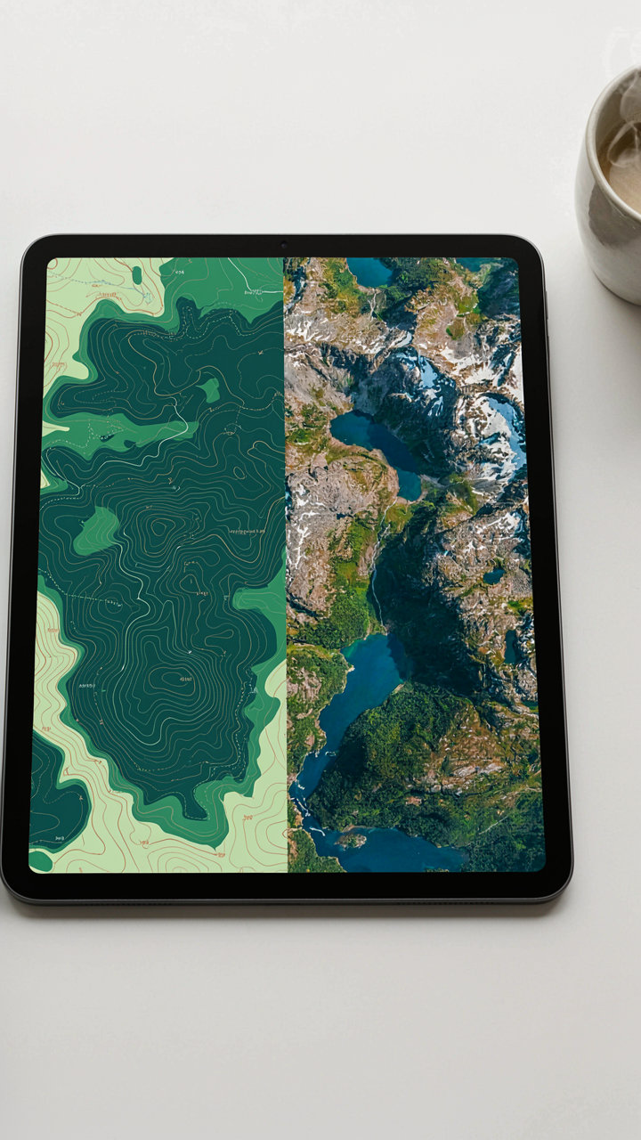
Most apps bury satellite view in settings. Open it and look for three specific things: tree density changes that indicate trail wear or reroutes, water drainage patterns that show where mud accumulates after rain, and ridge shadows that reveal steep sections the elevation profile might understate. Toggle between satellite and topographic view side by side. The contour lines tell you steepness mathematically. The satellite image shows you if that steep section is exposed rock, scree, or forested slope, which changes your equipment and pacing entirely. Download satellite imagery offline before your trip because streaming it drains battery faster than navigation.
App Design For Outdoor Resilience: The Unsung Heroes
When Your Battery Dies First
You want to believe your phone won’t fail you on the trail. It will. The mechanism here borrows from systems design: redundancy. A single point of failure kills the entire chain. Most outdoor apps drain battery like they’re running a server farm in your pocket, then offer vague tips about “low power mode.” That’s incomplete.
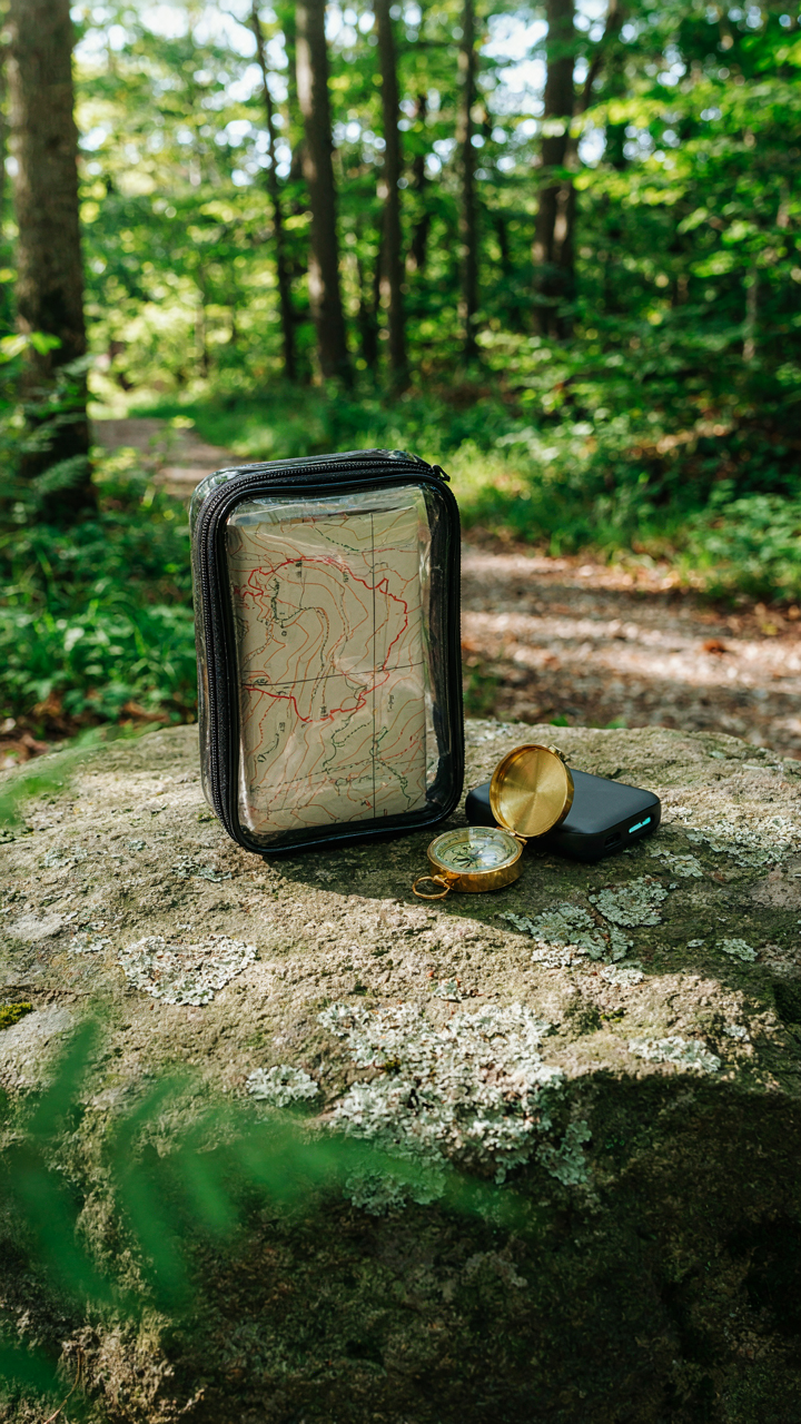
Real resilience means planning for battery death as a certainty, not a possibility. Download offline maps before you leave cell range. Enable airplane mode the moment you lose signal to stop your phone from burning power searching for networks. Carry a portable charger with actual capacity—not a 5000mAh toy. Test it at home. Know exactly how many hours your phone survives with the apps you actually use.
When Maps Become Your Failsafe
Digital navigation fails in three ways: no signal, dead battery, software crash. None of these kill a paper map. The common advice tells you to print maps as backup. That’s lazy. Print the specific route you’re taking, not the whole region. Annotate it with waypoints, water sources, and bailout locations pulled from your app. Mark distances between landmarks so you can estimate time without GPS.
Paper maps demand a compass and basic navigation skill you’ve practiced before the trip. Store your print in a waterproof case, separate from your primary gear. When your app freezes or your battery hits zero at mile eight, you follow bearings and landmarks like hikers did for centuries. This isn’t nostalgia. It’s the protocol you execute when your digital layer collapses.
The Real Obstacle Is Not Bad Apps, But Your Reliance On Curated Experiences

You don’t need a better app. You need to stop outsourcing your decisions to other people’s routes and ratings. The moment you treat an app as gospel instead of a starting point, you’ve already lost. Download AllTrails today, pick the worst-reviewed trail in your region, and go. You’ll discover more in one afternoon of intentional friction than a year of following the crowd. The best outdoor experiences belong to people willing to get lost.